

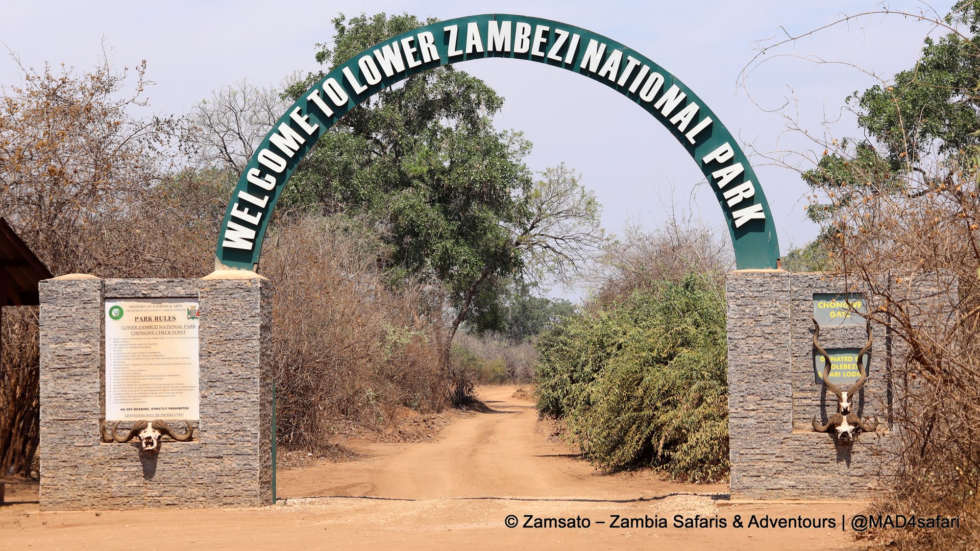
Pass under the green arch at Chongwe Gate and the road narrows into a sandy track. On your right, the Zambezi slides past in braided channels, sandbanks and islands. On your left, a wall of wooded hills rises out of the valley floor. In between lies a strip of floodplain, winterthorn groves and mopane where elephants, buffalo, lions and leopards go about their day. Welcome to Lower Zambezi National Park.
It is one of the smaller of Zambia’s big parks, yet also one of the most dramatic. In addition, it is a park with a surprisingly turbulent story: a president’s private game reserve, a river shared with two neighbouring countries, and a decade-long legal fight over a copper mine in the hills. Here is the background we share with our guests on the drive in, plus a few photos from our latest trip.
Lower Zambezi National Park at a glance
- Size: 4,092 km² on the north bank of the Zambezi River, in south-eastern Zambia
- Status: national park since 1983
- Neighbours: Mana Pools National Park (Zimbabwe), a UNESCO World Heritage Site, directly across the river; the Chiawa and Rufunsa Game Management Areas on the Zambian side
- Western boundary: the Chongwe River
- Landscape: river and floodplain, a steep escarpment, and miombo woodland on the plateau above
- Activities: game drives, boat cruises, canoeing, walking safaris and, unlike Mana Pools, night drives
From presidential hideaway to national park
Before it became a national park, this stretch of the valley was the private game reserve of Zambia’s president, in the era of the country’s first president, Kenneth Kaunda. As a result, it was closed to the public, which meant no lodges, no roads full of vehicles and no mass tourism.
Finally, in 1983, the reserve was declared a national park. However, the timing was not easy. Commercial poaching was raging across the Zambezi Valley in the 1980s, and by the time the park was proclaimed, the black rhino had already disappeared from it. Elephant numbers had also crashed at the same time.
Since then, the recovery has been slow but real. First, tourism arrived carefully from the 1990s, with a small number of camps along the river. In addition, Conservation Lower Zambezi, a non-profit, has supported the Department of National Parks and Wildlife with anti-poaching, aerial surveillance and community education since the mid-1990s. As a result, the elephant herds along the river are once again one of the park’s defining sights today.
The escarpment: the wall that shapes the park
The hills you see from the river are the Zambezi Escarpment, a fault scarp that formed when the middle Zambezi Valley dropped as a rift. On the Zambian side it rises steeply, roughly 500 to 600 metres, above the valley floor. In the Lower Zambezi, in particular, it is sharp and continuous all the way east towards the Luangwa River.
The escarpment divides the park into two very different worlds:
- The valley floor is a narrow band of alluvial floodplain, winterthorn (Faidherbia albida) groves, mopane and dense thicket along the river. This is where most of the wildlife lives, especially in the dry season, and it is where almost all the game viewing happens.
- The escarpment and the plateau above it are steep, rugged and largely inaccessible. Most of this area is covered in miombo woodland and is barely explored. It acts as a natural barrier for many animals, which is one reason there are no giraffes in the Lower Zambezi.
For visitors, therefore, this means a compact, concentrated safari: the animals, the river and the hills are all in the same view. For conservation, on the other hand, it means that what happens up on the escarpment matters. The seasonal rivers that drain the hills flow straight down through the valley into the Zambezi.
One river, two parks, three countries
Animals have never cared about the border in the middle of the Zambezi. Elephants, buffalo and even lions swim between the Zambian and Zimbabwean banks, and the whole middle Zambezi Valley functions as a single ecosystem between Lake Kariba in the west and Lake Cahora Bassa in Mozambique in the east.
In May 2023, Zambia and Zimbabwe finally made this official. Together, they signed an agreement establishing the Lower Zambezi–Mana Pools Transfrontier Conservation Area (LOZAMAP TFCA), which covers about 18,500 km². It links Lower Zambezi National Park and its Game Management Areas with Mana Pools and the neighbouring safari areas in Zimbabwe. The aim is joint management of the shared ecosystem: coordinated anti-poaching, protection of wildlife corridors between the escarpments and the river, sustainable tourism and benefits for the communities that live alongside the wildlife.
Then, in July 2024, a second agreement followed: the Zimbabwe–Mozambique–Zambia (ZIMOZA) Transfrontier Conservation Area. It covers around 39,000 km² further downstream around the Zambezi–Luangwa confluence and joins the LOZAMAP area to the east. In this way, they form part of a much larger conservation landscape along the Zambezi, similar to the KAZA area we know so well around Livingstone.
Copper and gold under the hills: the Kangaluwi mine saga
However, the escarpment also hides copper and gold, and for almost 20 years the copper put the park in real danger.
In the early 2000s an Australian company was granted an exploration licence inside the park. Later, in 2011, its Zambian subsidiary, Mwembeshi Resources, received a 25-year licence for the Kangaluwi open-pit copper mine in the eastern part of the park, up on the escarpment. The plan was a mine of about 12 km² between two seasonal rivers that drain directly into the Zambezi, with tailings dams just a few hundred metres above the valley floor. Moreover, Mana Pools, a World Heritage Site, lies directly opposite.
A long legal battle
What followed was a long back-and-forth between the company, the regulators and the courts:
- 2010: 17 local chiefs in the region signed an agreement opposing all mining.
- 2012: the Zambia Environmental Management Agency (ZEMA) rejected the mine’s environmental impact statement. Its experts warned of damage to the escarpment habitat, loss of wilderness value, river pollution and a high risk of tailings dam failure.
- 2014: the environment minister overturned ZEMA’s decision and approved the mine. Conservation groups went to court.
- 2019–2021: the courts dismissed the appeals, largely on legal technicalities, and in 2021 ZEMA renewed the environmental approval.
- May 2023: bulldozers began clearing land inside the park. Within weeks the government ordered all work to stop because the company had breached its environmental conditions.
- August 2023: ZEMA cancelled the environmental approval, and the company’s appeal was rejected.
- 2024: the Ministry of Mines cancelled Mwembeshi’s mining licence in a wider sweep of non-compliant licences.
Is the mine gone for good?
For now, the mine is off the table. However, the pressure has not gone away. For example, in September 2024 two new exploration licences in the Lower Zambezi area caused fresh alarm. The government later said, however, that the licence was in the Chiawa Game Management Area rather than the park, and also that one applicant had withdrawn. Because copper and gold prices are high, conservation groups, tourism operators and local communities continue to watch closely.
So why does it matter so much? First of all, the Lower Zambezi is one of the few Zambian parks that carry the country’s photographic safari industry. In addition, its lodges and camps employ hundreds of people from the surrounding villages. An open pit and a tailings dam on the escarpment, upstream of the river that feeds fisheries and farms all the way to Mozambique, would put all of that at risk.
The Lower Zambezi on safari today
Politics aside, what is it actually like, then, to be there? On our latest trip, at the end of the dry season, the bush was bare and dusty. In fact, that is exactly when the Lower Zambezi is at its best for wildlife: the animals are tied to the river and the last waterholes, and the thinner vegetation makes them easier to see.
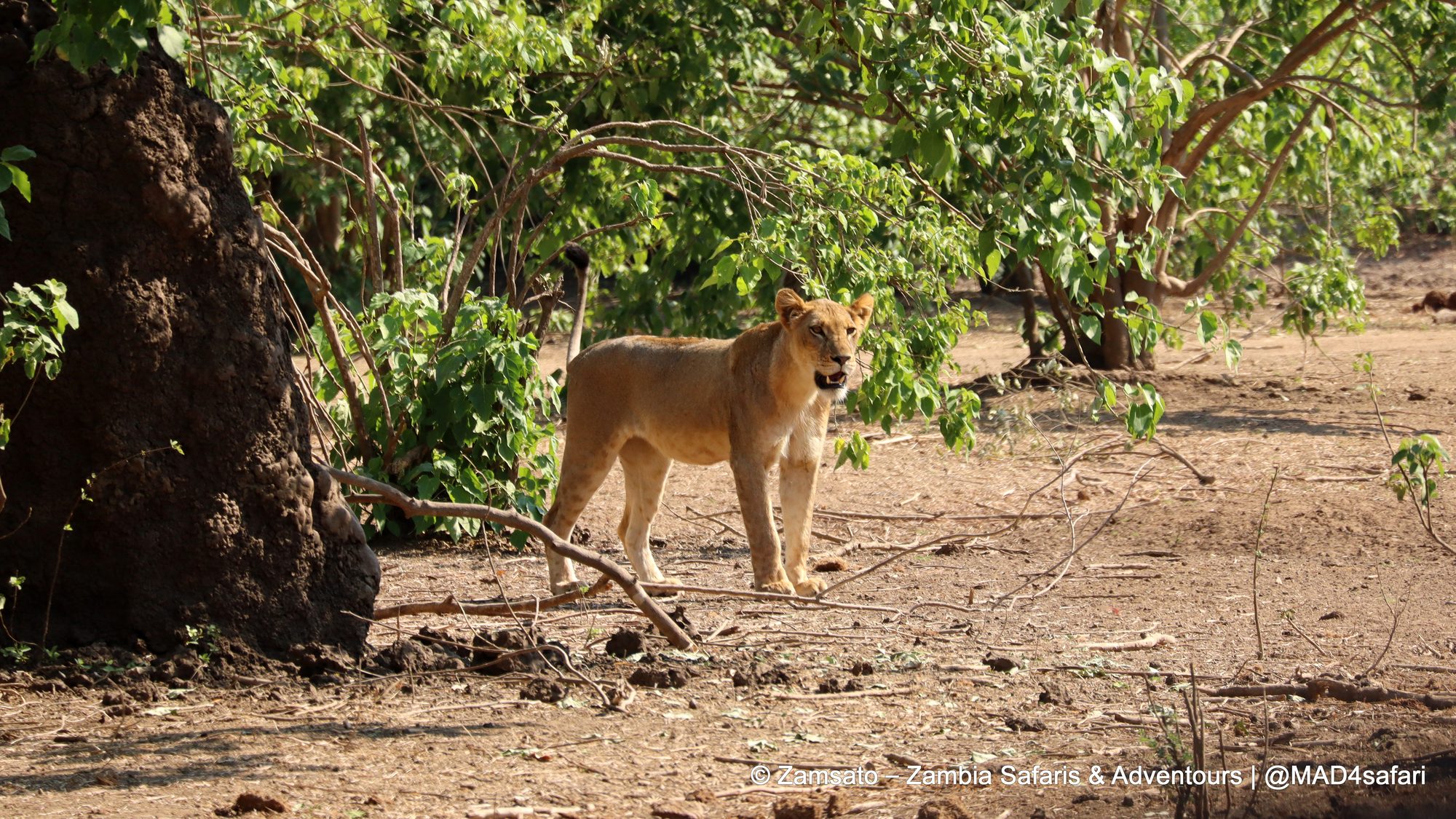
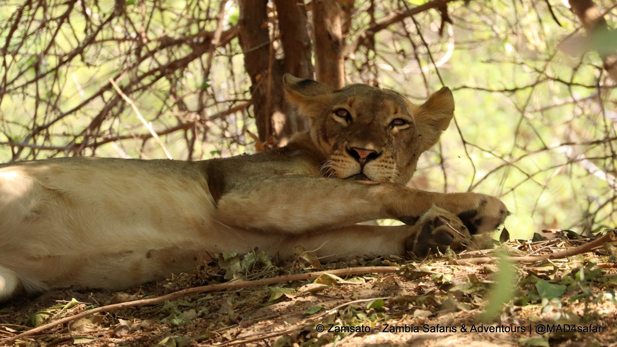
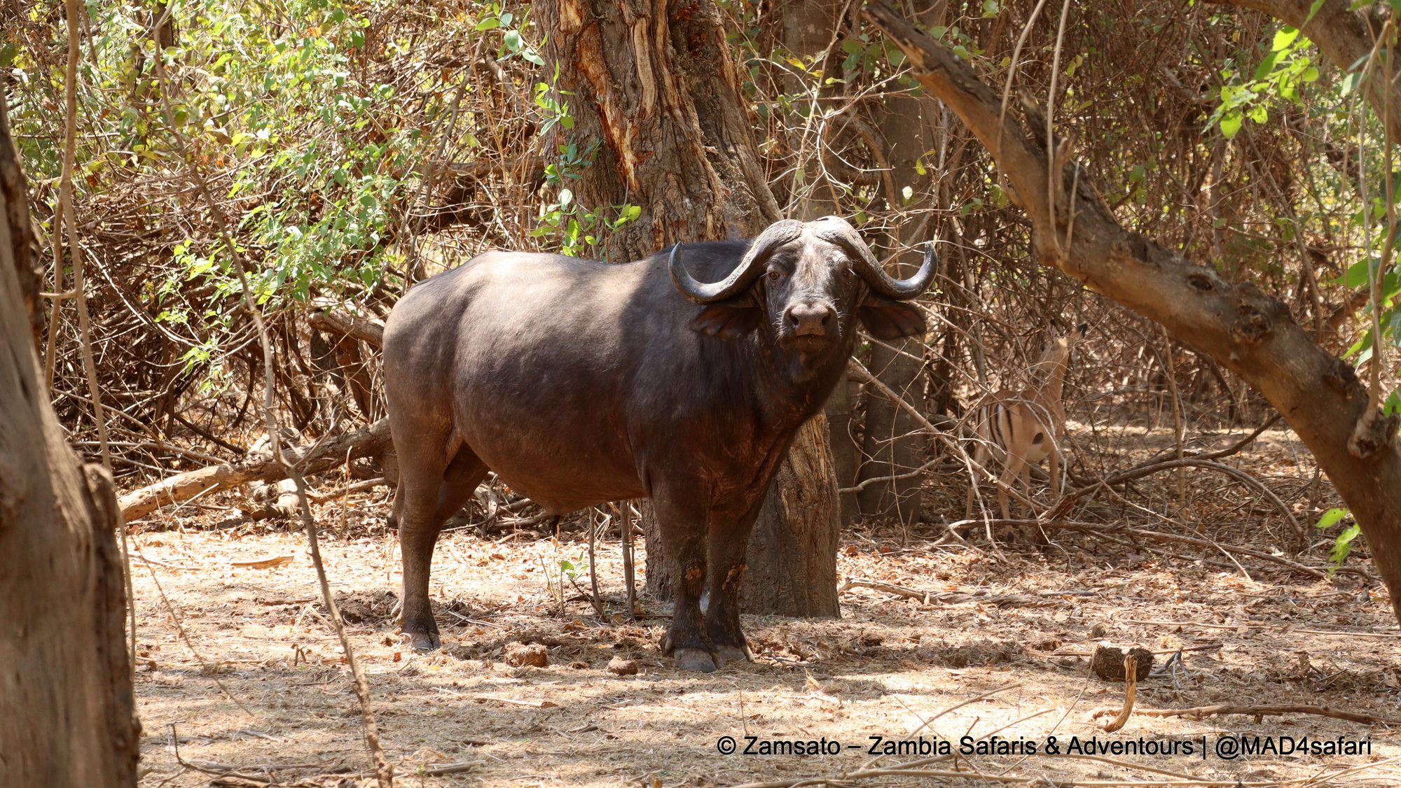
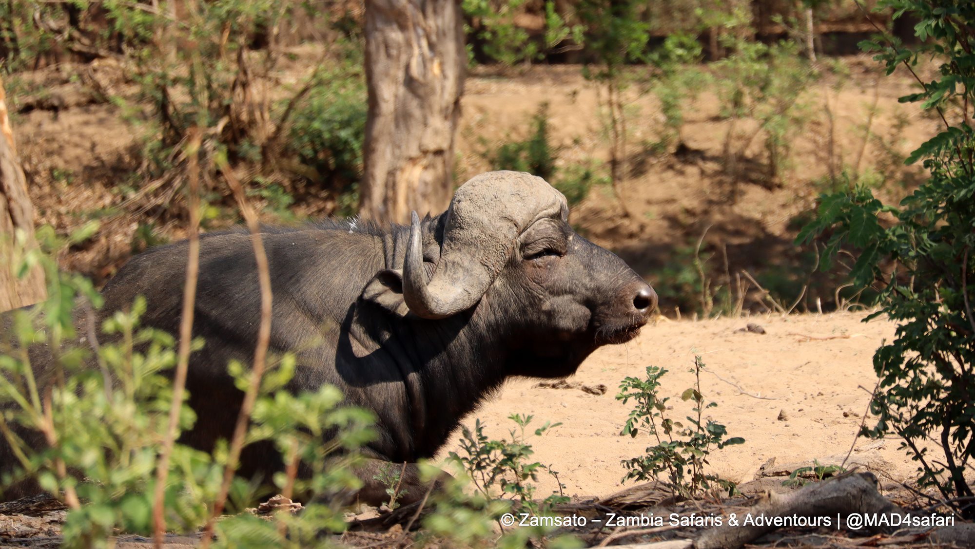
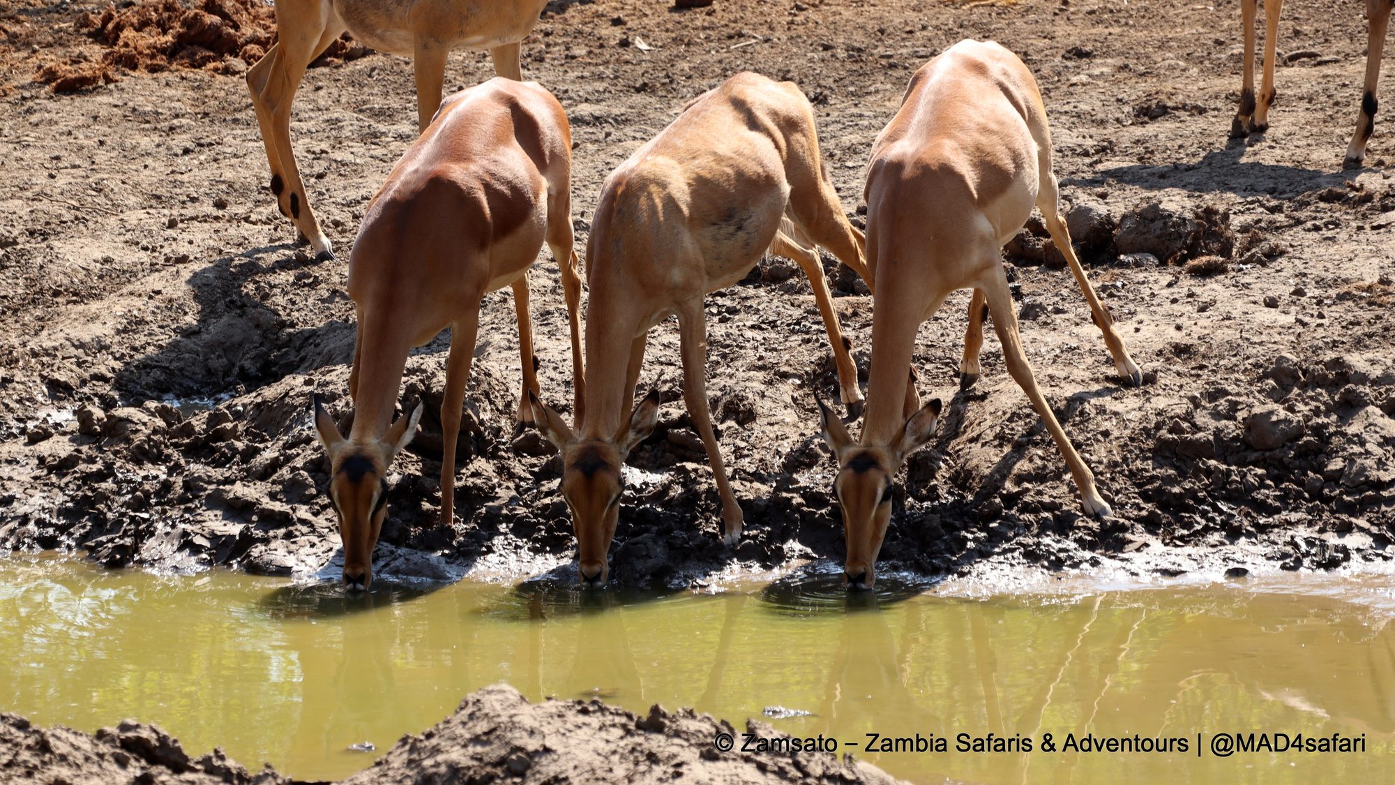
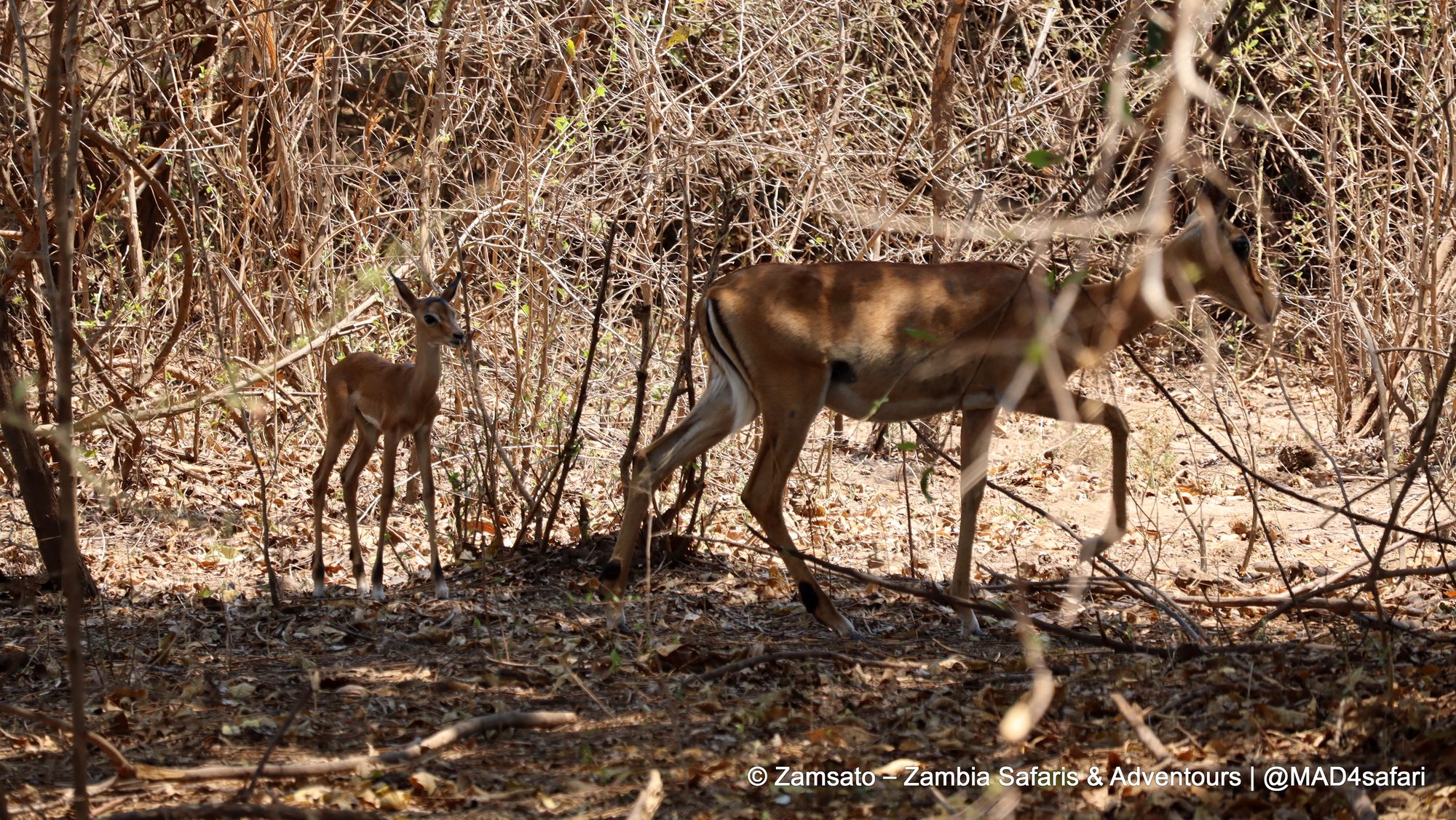
Elephants came down to the sandbanks to drink, lone buffalo bulls dozed in the shade, and lionesses spent the hot hours flat out in the shade of the thickets. Meanwhile, around the waterholes, nervous impala took turns to drink while an impala lamb waited in the bushes.
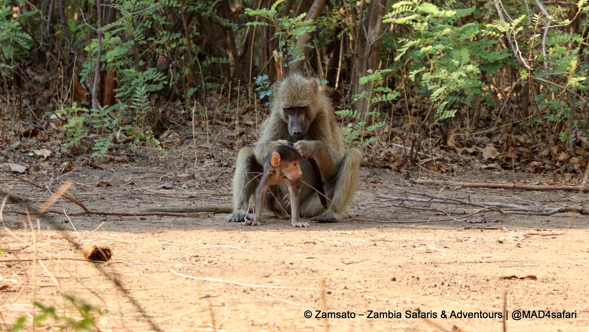
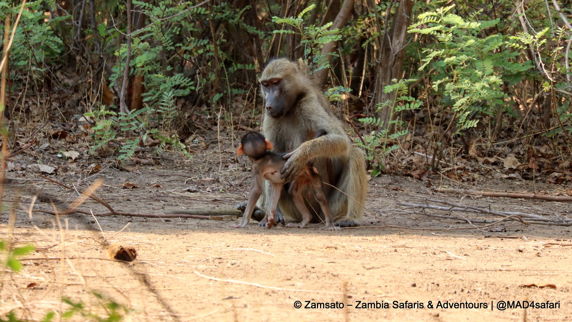
Similarly, the smaller stories are just as good. A chacma baboon mother groomed her tiny baby in the middle of the track, completely ignoring us.
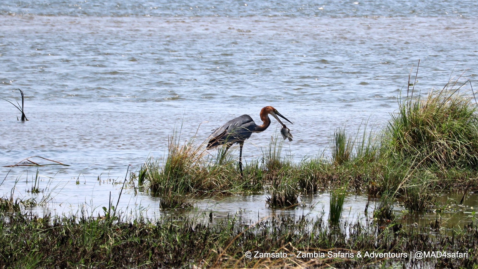
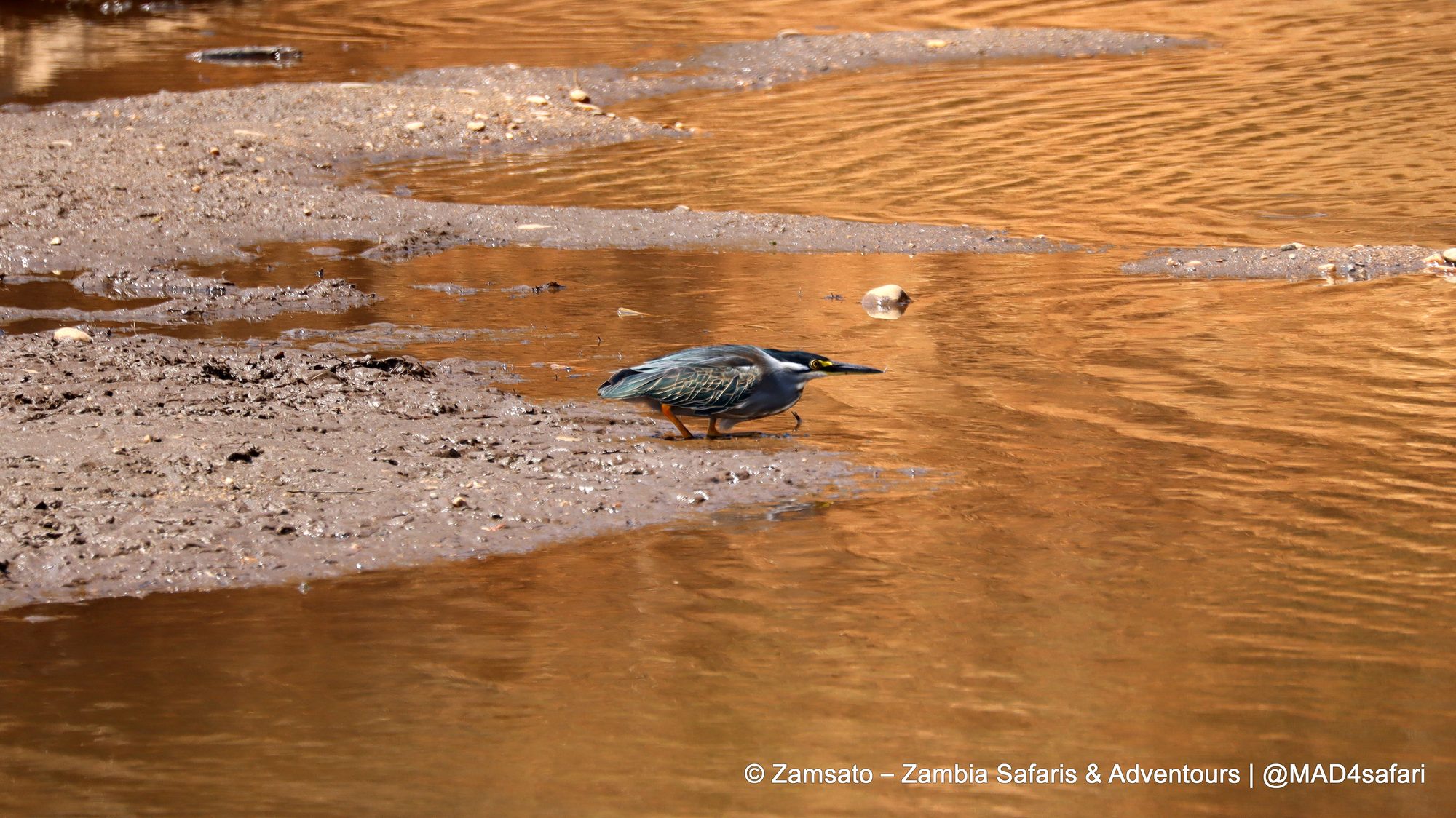
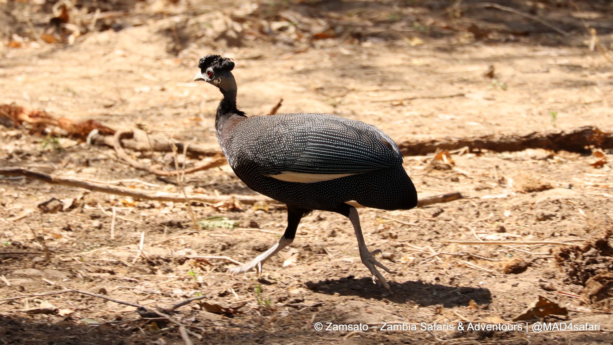
For birders, of course, the river is the main attraction. Goliath herons fish in the shallows, green-backed herons crouch on the mudbanks, and crested guineafowl scurry through the riverine woodland.
How we do the Lower Zambezi
A few honest notes from our side, so you know what to expect:
- We stay in the park all day. We like to combine a morning and an afternoon game drive with a lunch and siesta break inside the park, rather than driving back and forth to camp. That way, you get more time with the animals and less time on the road.
- Get on the water. A boat cruise or a canoe trip along the channels shows you the park from the river, often very close to elephants and hippos. The minimum age for canoeing is 12.
- The best time is the dry season, when wildlife concentrates along the river. By October it is hot, often well over 35 °C in the valley, so plan your days, above all, around the early mornings and late afternoons.
- Bring long sleeves in neutral colours. Tsetse flies are part of life in the valley woodland. For this reason, avoid dark blue and black clothing.
- The road in is part of the adventure. The drive from Lusaka is long and rough in places. With us, you travel in our own safari vehicle with an experienced driver-guide.
Finally, the Lower Zambezi pairs well with Victoria Falls, the Kafue or the Luangwa Valley. Tell us how you like to travel, and we’ll put together a private safari that fits.
Further reading: Lower Zambezi–Mana Pools TFCA (SADC TFCA Portal) · BirdLife International on the cancellation of the Kangaluwi mine · GroundUp: Bulldozers clear way for mine in Lower Zambezi National Park
